
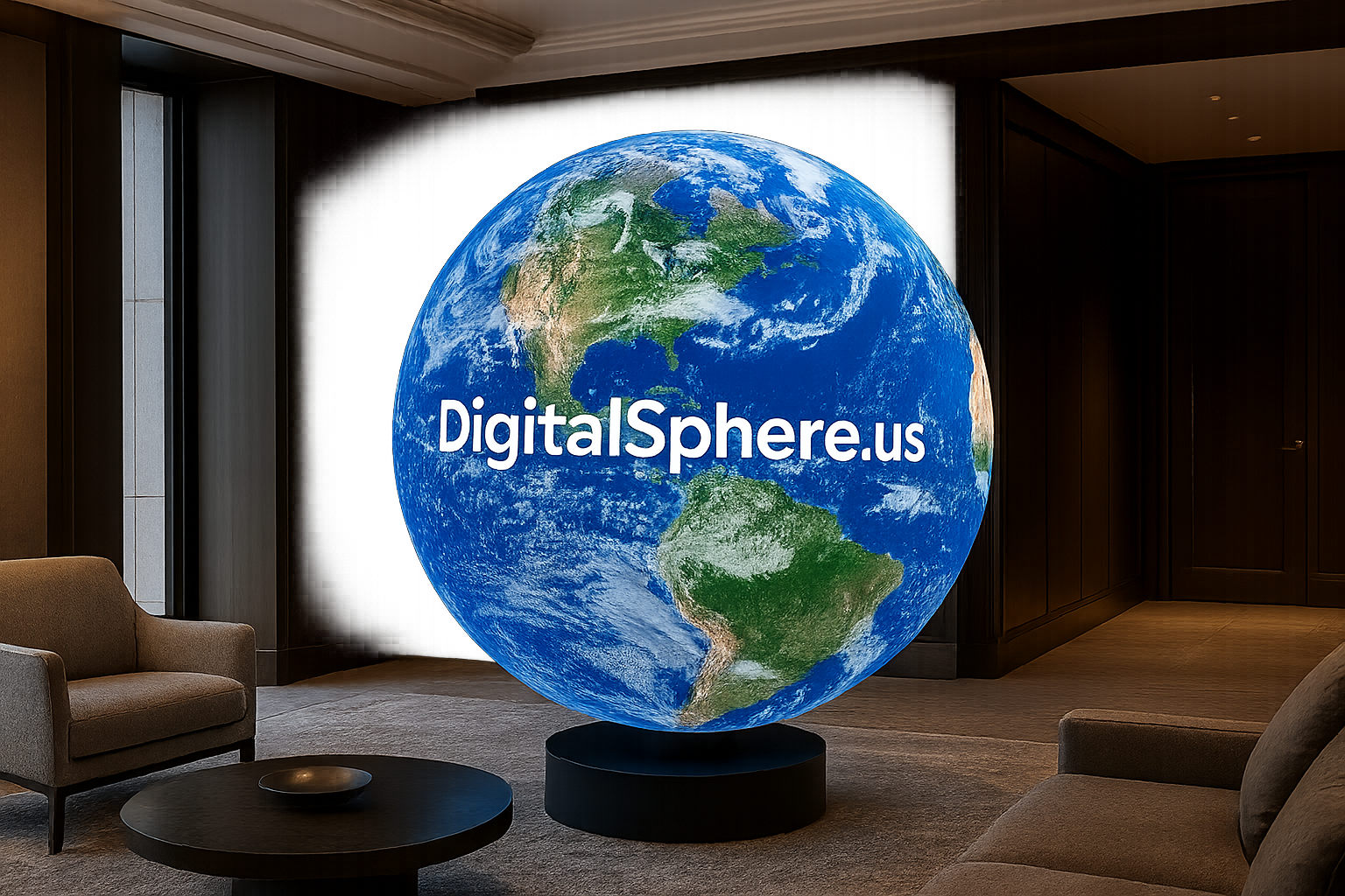
Unlock the Power of Digital Spheres for Satellite Imagery
In today’s data-driven world, Digital Spheres for Satellite Imagery are transforming how organizations display, interpret, and interact with global data. Through immersive, spherical visualization technologies, satellite imagery comes to life in ways that were previously impossible. At DigitalSphere.us, we specialize in providing custom digital sphere displays and interactive tools for museums, event spaces, educational institutions, and more. Whether for STEM learning, immersive museum exhibits, or commercial installations, digital spheres unlock a visual experience that is as engaging as it is informative.
What Are Digital Spheres for Satellite Imagery?
Digital spheres – also known as LED spheres or interactive spherical displays – are advanced visualization systems that project digital content onto a seamless spherical surface. When it comes to satellite imagery, these spheres allow viewers to explore our planet (and beyond) in 360 degrees, providing a captivating, realistic experience. Unlike flat screens, digital spheres display satellite data in true geographic proportions, making them excellent tools for education, research, and public engagement.
Bringing Satellite Data to Life
By wrapping high-resolution satellite imagery around a digital sphere, data becomes intuitive and interactive. Rotating or zooming into specific areas is far more immersive than traditional, two-dimensional displays. Museums, science centers, and planetariums around the world use digital spheres to help audiences understand Earth’s weather patterns, climate change, urbanization, and even planetary science.
Key Benefits of Using Digital Spheres for Satellite Imagery
- Immersive Understanding: The spherical format matches the earth’s shape, presenting satellite imagery without distortion.
- Interactive Learning: Touch or gesture-based controls engage users, enabling interactive exploration of complex datasets.
- Stunning Visual Impact: LED and digital spheres command attention in any space, turning data into visual art.
- Versatile Applications: Perfect for museum exhibits, classroom environments, trade shows, conferences, and public events.
- Scalable Solutions: From compact spheres suitable for classrooms, to large-scale installations for major venues.
How Digital Spheres Work With Satellite Imagery
Display technology has advanced rapidly, allowing crisp, real-time satellite imagery to be mapped perfectly onto digital spheres. Software systems convert traditional satellite data into projections tailored for curved surfaces. Interactive controls can change displays from Earth’s weather systems, to deforestation, volcanic activity, ocean currents, and more, providing a holistic view the way only SSI Displays and similar partners can deliver.
Flexible Integration
At DigitalSphere.us, our digital spheres are compatible with a wide range of content sources and control systems. Integration with live NASA satellite feeds, custom GIS data, and high-res time-lapse visuals unlocks dynamic, constantly updated displays for users.
Applications of Digital Spheres for Satellite Imagery
Museum & Science Center Exhibits
Digital spheres captivate museum guests, providing tangible connections to global themes like climate change, natural disasters, and urban growth. Interactive exhibits allow visitors to compare historical and current data, visualizing the impact of global events on an engaging platform.
Educational Solutions for Schools and Universities
STEM classrooms benefit enormously from digital sphere technology. By placing satellite imagery at the fingertips of students, educators can support lessons in geography, environmental science, and planetary exploration. Portable rental spheres make these benefits accessible for STEM fairs, science competitions, or temporary installations. For permanent installations, our educational digital sphere displays provide complete turnkey solutions.
Corporate Lobbies & Trade Shows
A digital sphere displaying real-time satellite or environmental data provides stunning branding opportunities for organizations invested in technology, energy, or sustainability. At trade shows, an interactive digital sphere draws crowds and communicates your organization’s global thought leadership.
Event Rentals & Temporary Installations
Not every organization needs a permanent installation. DigitalSphere.us rental spheres are ideal for events, exhibitions, and temporary exhibits. Our plug-and-play rental solutions deliver all the impact of digital sphere technology, without a long-term commitment.
Why Choose DigitalSphere.us for Satellite Imagery Visualization?
- Customizable Hardware: Multiple sphere sizes and finishes match your space and project requirements.
- Advanced Software: Support for static, animated, or real-time satellite imagery feeds.
- Expert Consulting: Consultation to ensure your digital sphere solution aligns with your educational or organizational objectives.
- Turnkey Support: From initial scoping to installation, training, and ongoing support.
Comparison: Digital Spheres vs Traditional Flat Displays
| Feature | Digital Sphere | Flat Display |
|---|---|---|
| Immersion | Fully immersive, 360-degree views | Limited to 2D perspective |
| Data Realism | Natural, intuitive mapping for geographic data | Distorted projection on flat map |
| Engagement | Interactive, tactile experiences | Often passive consumption |
| Visual Impact | Eye-catching, artistic centerpiece | Fades into background |
| Flexibility | Supports live, animated, or static content | Primarily static or video content |
Frequently Asked Questions (FAQs)
- What size spheres are available for satellite imagery displays?
- DigitalSphere.us offers spheres ranging from compact 24-inch models for classrooms to impressive 6-foot installations for large venues. Custom sizes are available upon request.
- How realistic is the satellite imagery shown on digital spheres?
- The latest LED and digital display technology supports ultra-high resolution imagery, so details are vivid and striking. Our systems can present live or archived satellite data with accurate color, clarity, and fluid motion.
- Can I use my own satellite images or data?
- Absolutely. DigitalSphere.us can support custom content integration, whether proprietary satellite feeds, GIS files, or time-lapse visualizations.
- Are these displays interactive?
- Yes! Many of our spheres come with touch, gesture, or remote control capability so users can rotate, zoom, and explore satellite imagery in real time.
- Do you offer rental options for events?
- Yes, we offer flexible rental programs for events, trade shows, and traveling exhibits. Visit our rental spheres page to learn more.
Conclusion: Transform Satellite Imagery Into an Experience
Digital Spheres for Satellite Imagery are revolutionizing the way we interact with global data. Whether for education, advocacy, research, or public engagement, immersive sphere technology creates memorable, meaningful experiences with satellite data. If you’re ready to see the world in a new light and unlock the full power of digital sphere visualization, contact DigitalSphere.us today for a consultation. Our expert team will help you create a solution tailored to your unique requirements – from permanent museum installations to eye-catching event rentals. Bring your vision of satellite imagery to life and inspire your audience with the power of immersive digital spheres.
